via Trimble Geospatial
Q and A with Chris Power of Leigh Surveyors: The New Geodetic Reality of Mobile Mapping Technology
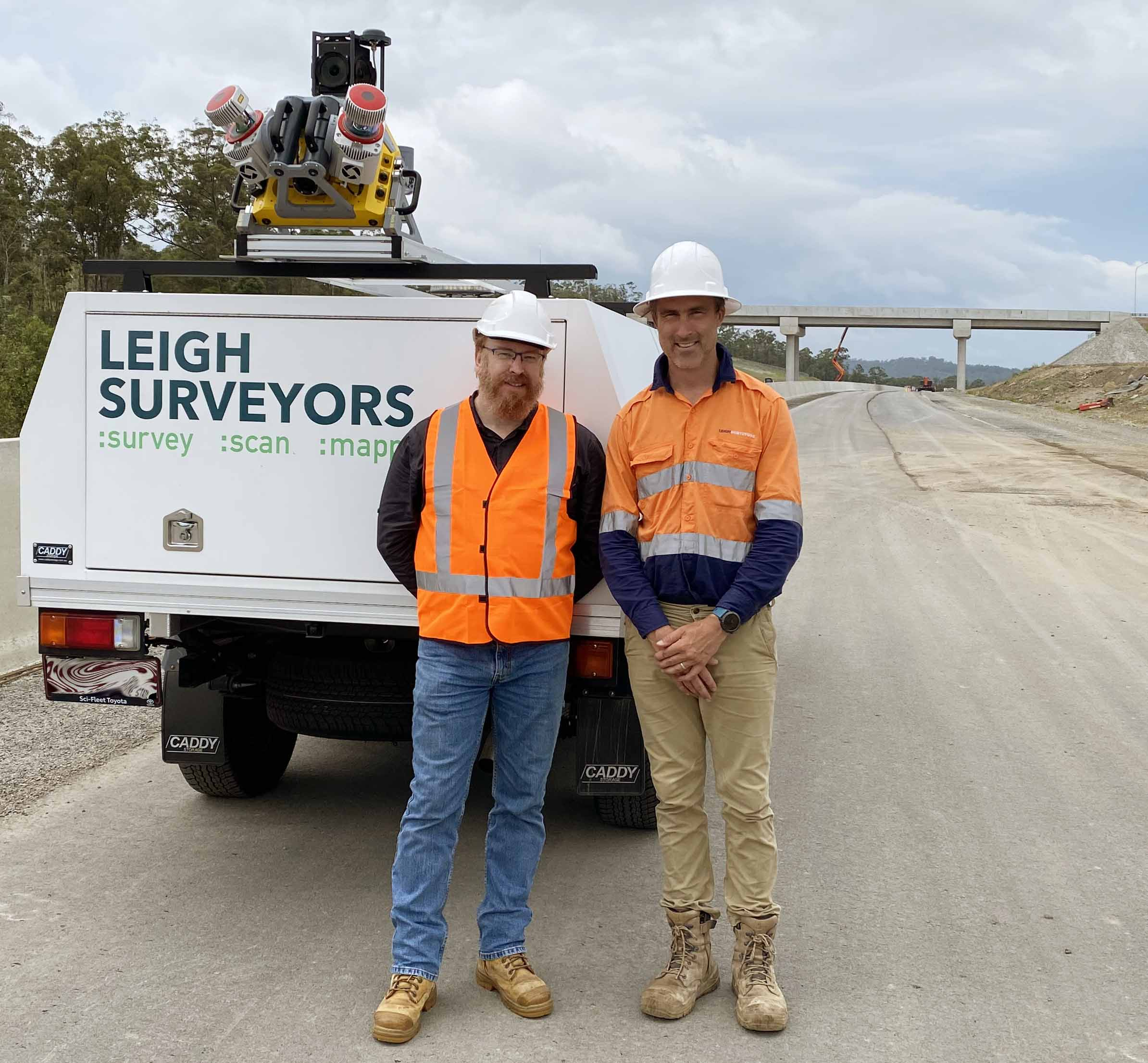
Based in Brisbane, Queensland, Australia, Leigh Surveyors is a specialist in the transportation infrastructure market. The company maintains its leadership with continuous investment in technology, such as LiDAR and scanning/total stations, and more recently mobile scanning to deliver more comprehensive and accurate solutions, and set a foundation for digital twins. The firm was recently honored with the Best Civil Engineering Surveying Company award by Australian Enterprise Awards 2023.
We asked Chris Power, Digital Engineering Lead for the firm, to describe the trends, challenges and advantages from recent testing and deployment of mobile mapping technology.
Q: What’s the biggest challenge with mobile mapping for surveyors in infrastructure?
A: Accuracy. We are seeing some really impressive terrestrial LiDAR data sets around. However, a lot of these examples are relying on geometric matching or “scan-to-scan” registration to build the coverage they need without always nesting the data into a properly specified georeferenced frame. You can lose accuracy quite quickly working this way as the old geodetic problems that have been troubling surveyors for centuries come into play. We have found that by adopting tried-and-true survey workflows we can place the Trimble® MX9 data within engineering tolerances.
Read the full article on the Trimble Geospatial blog