How Planview USL Leveraged the Trimble MX50 for Project Efficiency
Planview Utility Services Ltd., with offices in Markham, Ottawa, and London, Ontario, provides engineering services, GIS and mapping services, subsurface utility engineering and asset management services to some of the largest utilities and municipalities in Ontario, including several of the ISPs participating in the AHSIP.
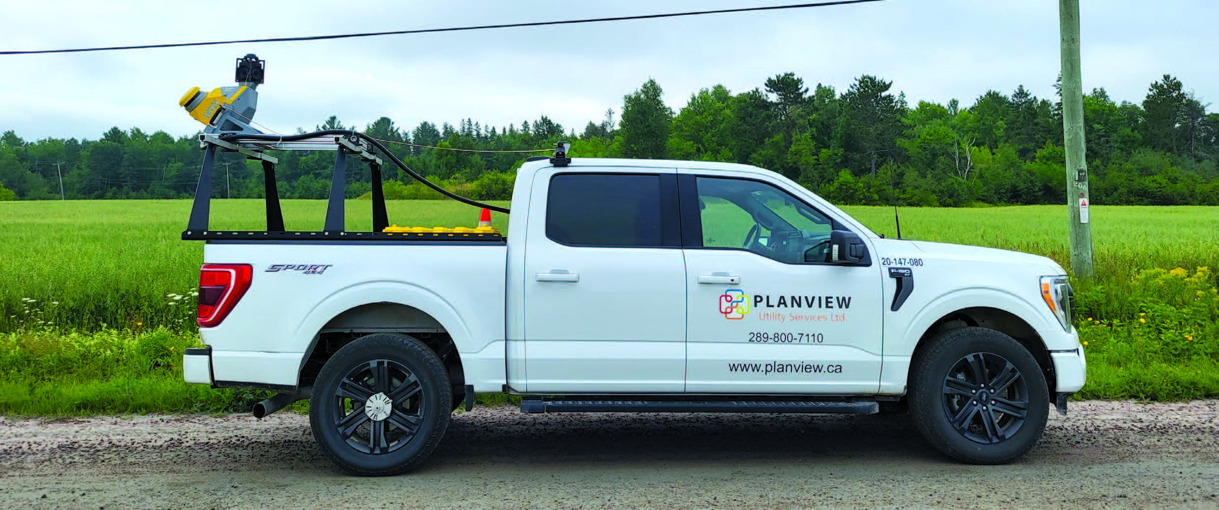
Using a Trimble MX50 mobile mapping system, Planview USL has collected more than 18,000 kilometers of comprehensive point clouds and imagery to build a land base used to design the fiber network for underserved rural communities. The success of the project relies on careful pre planning to identify potential infrastructure gaps (such as inadequate telephone poles and underground conduits) and difficult terrain, and schedule work within the time constraints of a short construction season.
“It’s a challenge to get survey teams out to remote areas in our vast province, so we need to minimize the number of field visits,” says Tony D’Amico, director GIS services, solutions, and mobile mapping at Planview USL. “Mobile mapping allows us to gather a significant amount of data quickly during the summer months.”
Collecting data with a mobile mapping system offers many operational advantages.
A vehicle carrying a mobile mapping system like the MX50 operates at normal posted speeds with a two person team capable of collecting on average 150 to 200 km per day. In five days in the field, 750 to 1,000 km can be collected as compared to several hundred kilometers with traditional terrestrial equipment.
Data collection of large areas in a shorter timeframe with a smaller crew results in lower operational costs.
“Compared to other mobile mappers that we’ve owned, we feel the MX50 offers the most user friendly setup, mounting, software, and navigation and the software is quite intuitive,” says D’Amico. “Even more important is reliability. After driving hours to reach our target area, we really need the unit to work correctly. And if something does go wrong, Cansel, our local dealer, can quickly provide a loaner and send us back to work.”
Read the full featured article here: xyHt a magazine for geospatial professionals (May issue)