via Trimble Geospatial
For Strathcona County, a specialized municipality in the Edmonton Metropolitan Region in Canada, a smart future requires a smart roadmap—literally.
But this is no ordinary roadway map; it’s essentially a digital twin, one that includes comprehensive details about the extent, condition, performance, use and operating characteristics of every public road in the municipality.
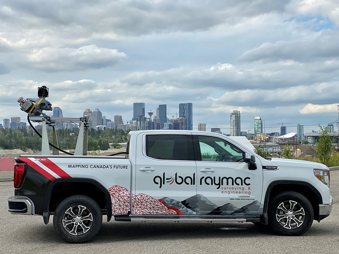
Developed by Calgary-based Global Raymac, a survey firm that focuses on transportation, heavy civil, facility construction and energy and pipeline construction in western Canada, the digital map includes more than 400 centerline kilometers, with emphasis on the county’s largest city, Sherwood Park (pop. 75,000).
According to Steve Sharron, manager of Lidar & Bathymetry at Global Raymac, what stands out about this digital roadway network is its scope and scale. He explained, "There is no gap in the data between missions; every run is registered to every other run. The entire road network—over three trillion points—is completely unified. It’s possibly the largest one that's ever been done in Canada or even North America to this level of accuracy."
This impressive digital asset inventory has become the foundation for planning, engineering and maintenance for the county, a hallmark of Global Raymac’s ever-expanding mobile mapping services and a clear illustration of the evolving role of surveyors in the built environment.
Read the full article on the Trimble Geospatial blog