via Trimble Geospatial
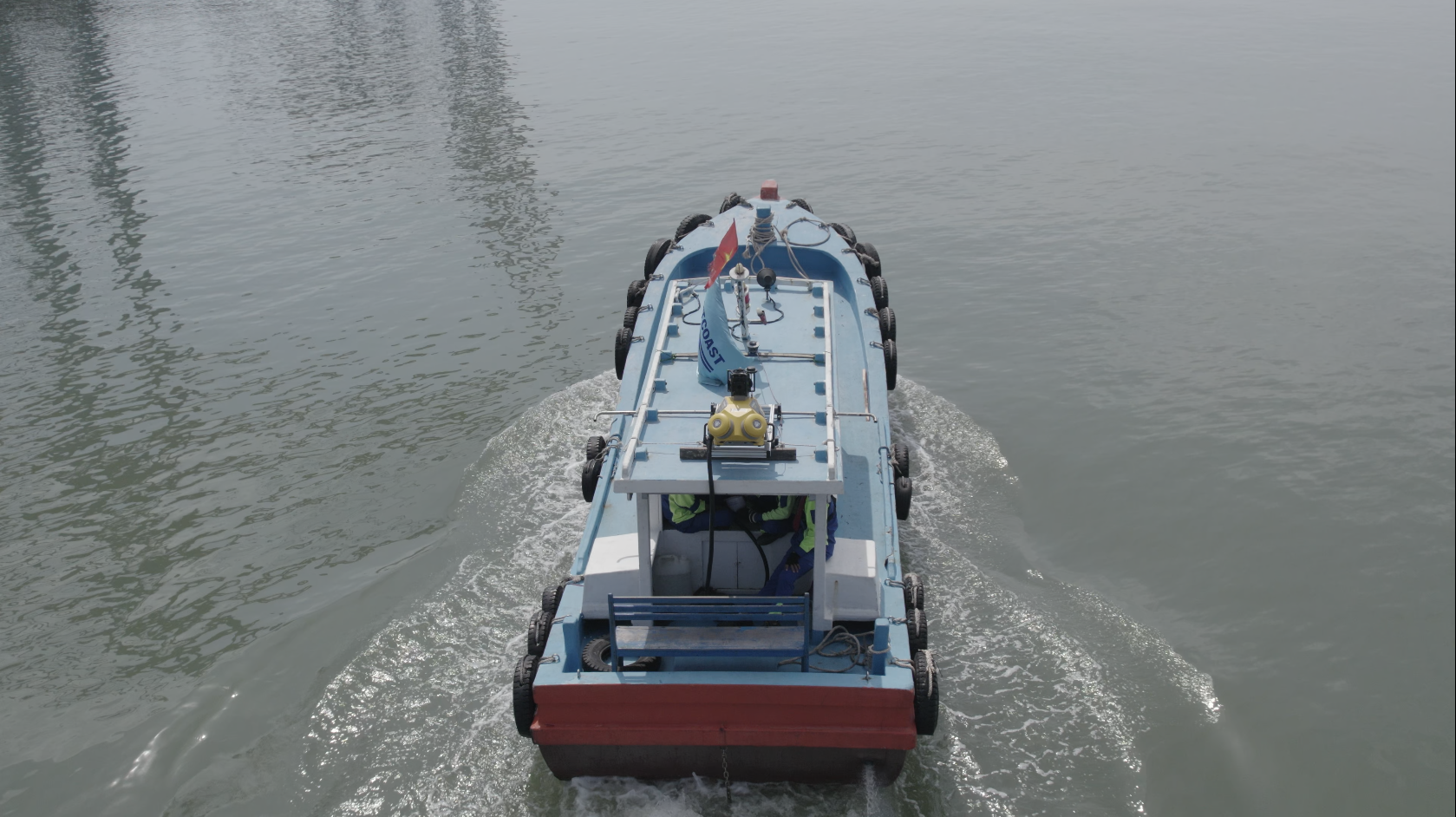
Mounting Trimble’s mobile mapping system on a boat solved the problem of scanning inaccessible infrastructure
Some areas of the massive Gemalink Port in southern Vietnam are inaccessible by land, making it difficult to capture the data needed to build a comprehensive digital twin of the facility. Using an innovative approach, Portcoast Consultant Corporation mounted a Trimble MX50 mobile mapping system on a boat to successfully scan the container terminal and nearby riverbank. The results were combined with terrestrial data to obtain a complete data set.
Gemalink Port serves global shipping needs
As one of only 19 major ports capable of receiving the world’s largest container ships, Gemalink Port on the Cai Mep-Thi Vai River in Vietnam is an important trans-shipment center for global trade. With its strategic location, it provides the country an economic boost while cutting costs and reducing the time it takes exports to reach the United States and Europe. Phase 1 of the facility began operations in January 2021, followed by Phase 2 in May 2021.
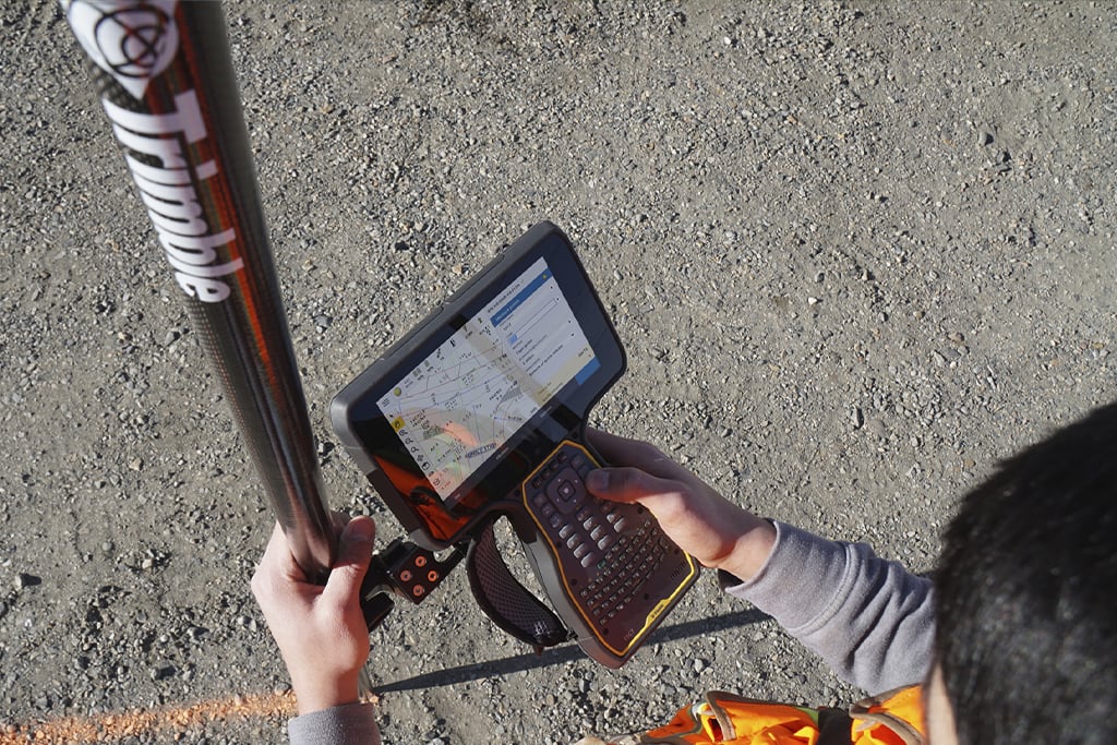
One year after opening the terminal, Portcoast Consultant Corporation, as a construction quality inspection consultant, conducted a full survey to update its as-built model. The digital twin serves many needs, from maintenance and BIM applications to verifying the length of the berths. Portcoast plans to conduct mapping updates every five years.
Read the full article on the Trimble Geospatial blog