Deformation monitoring, the task of measuring an object's movement over time, plays a crucial role in assisting the construction process and understanding a structural asset's health. Owners, operators, and contractors rely on automated monitoring systems to measure and report on the movement of these objects to ensure public safety, protect the asset, and make informed decisions. Survey providers can easily take existing survey principles and equipment and apply them on an automated monitoring project. Total stations provide accurate, repeatable measurements to understand this key movement and accompany software platforms visualize and report the data in meaningful ways.
This article explains the differences between automated and semi-automated (or manual) monitoring, where and when an automated system is beneficial, and the steps to turn an existing robotic total station into an automated monitoring system using Trimble 4D Control (T4D).
Semi-Automated and Automated Monitoring Systems
Semi-Automated Systems
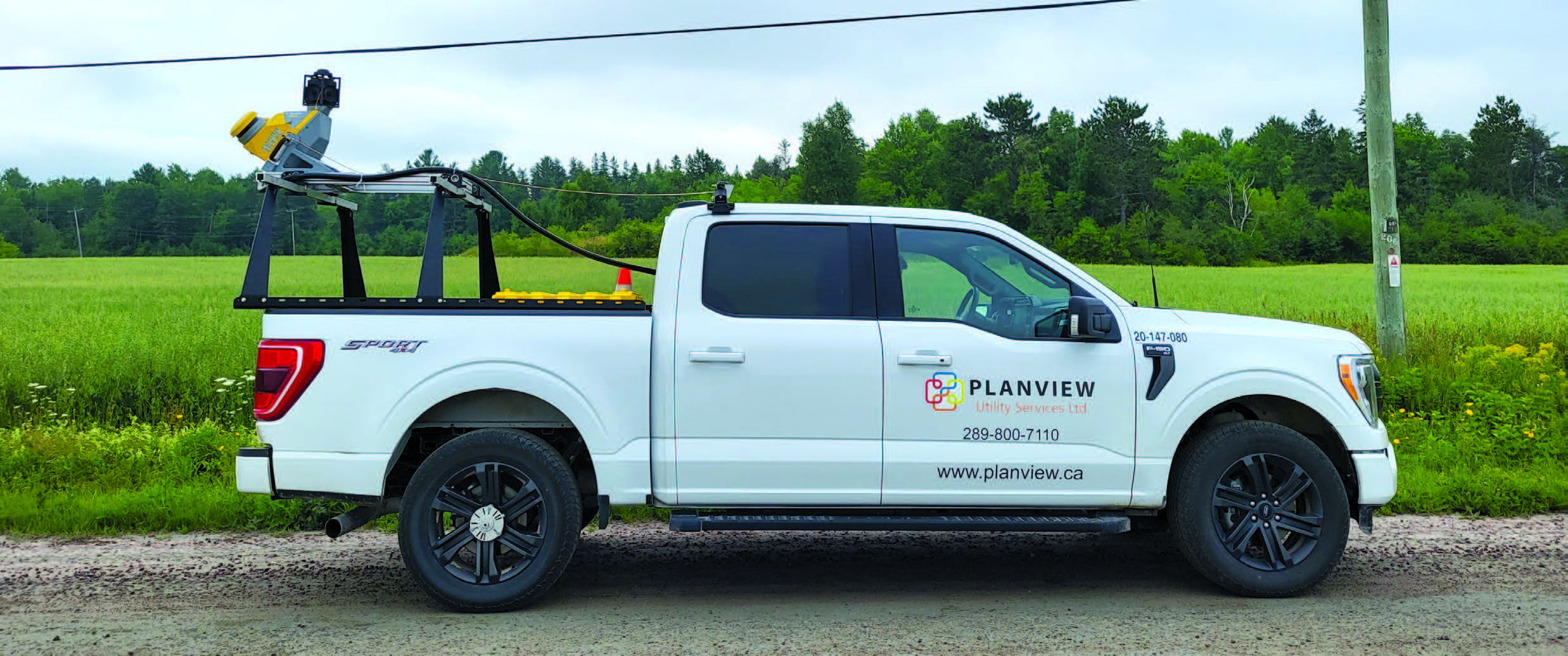
Semi-automated (also called manual, periodic, or campaign-based monitoring) monitoring schemes are not new in the industry. Typically, these are performed when a low frequency of measurement (e.g., once a week or month) and installation of instruments on site is not required (e.g., tripod, total station, and data collector). These operations are used to detect, slow, subtle movements such as natural land drift. Semi-automated monitoring is also useful for monitoring an object during a specific operation such as moving a large load over a bridge where the project duration is less than a day when a crew can be on site at all times.
Image 1: An example system for performing semi-automated monitoring using Trimble Access field software and S-series total station to measure the data and a reporting package such as Microsoft Excel to display the data.
Automated Systems
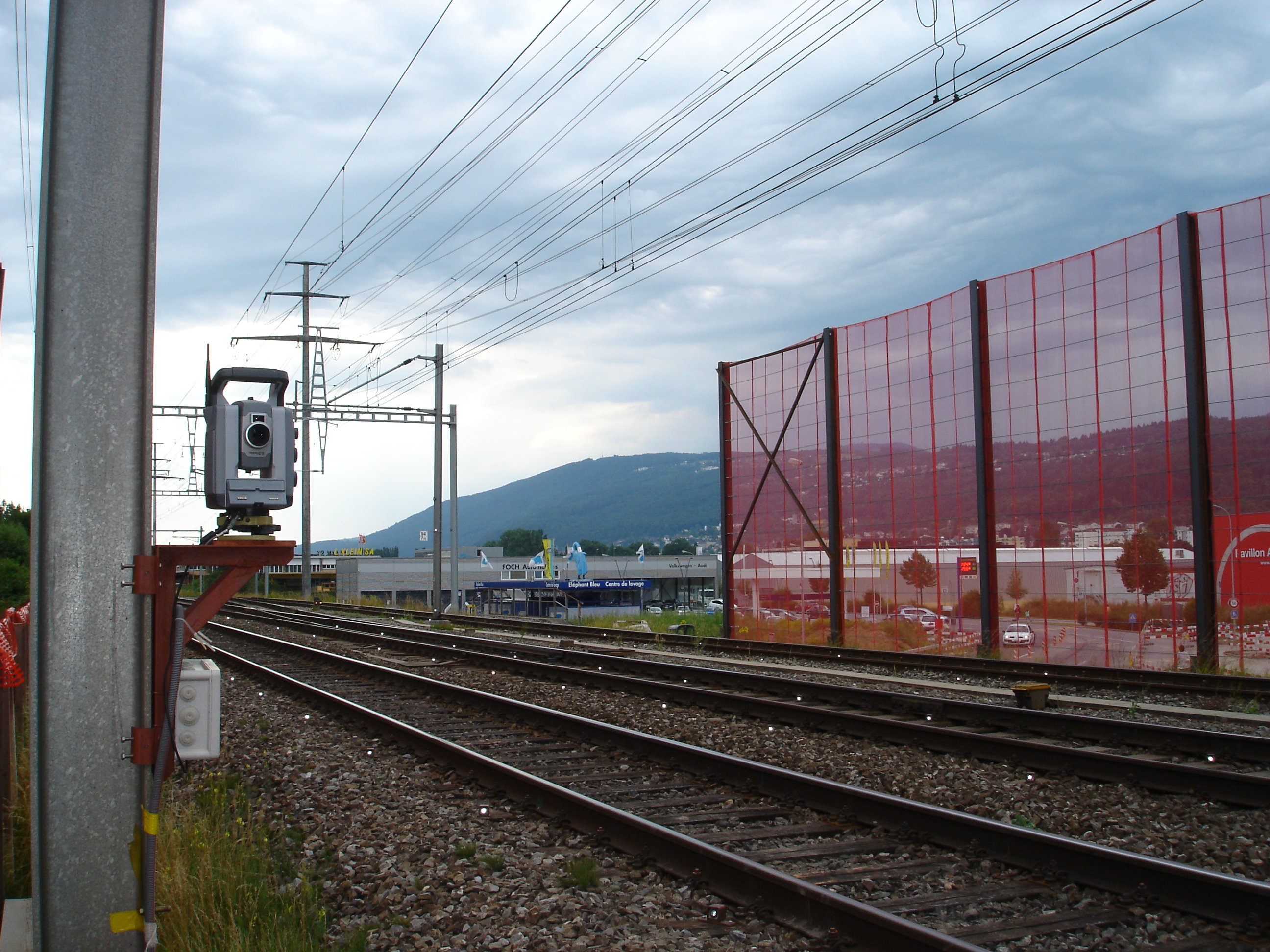
Automated monitoring systems have become a norm in the construction and structural industries. When safety of life and high reaction times are required after movement has been detected, an automated monitoring system is required. They allow for the continuous measurement and analysis of geodetic (e.g., GNSS and total stations) and geotechnical (e.g., crack sensors, tiltmeter, and inclinometer) sensor data. Instruments are permanently or semi-permanently installed on site (e.g., concrete pillar in housing for total station mount connected to permanent infrastructure) to reduce returns to site and ability to collect data seamlessly. To ensure owners and contractors can react to sudden movements, data is collected at a high frequency (e.g., every minute or once per day).
Read the full article on the Trimble Geospatial blog